

Lines from Camp
Seven days at Azure Pass, three exploratory ski tours from camp, and a final descent of a face we called Lil' Baby.
The helicopter lifted from the snow and turned down the valley. The rotor noise faded behind it.
For the next seven days, a small clearing near Azure Pass was home. This was my first winter base camp: tents beneath the trees, a fire pit dug into the snow and enough food that no one had to count grams. Nine of us shared the camp: four pairs of skiers and Sue, who worked for CMH and cooked for us throughout the week. Dinner would be waiting each evening, along with a beer around the fire.
Azure Pass lies west of Valemount in the Cariboo Mountains, within CMH’s Belmont tenure. Heli-ski runs have names here, but the terrain between them was mostly contour lines on our maps. We had few photographs, no recent trip reports and no guidebook showing how the surrounding bowls and ridges connected.
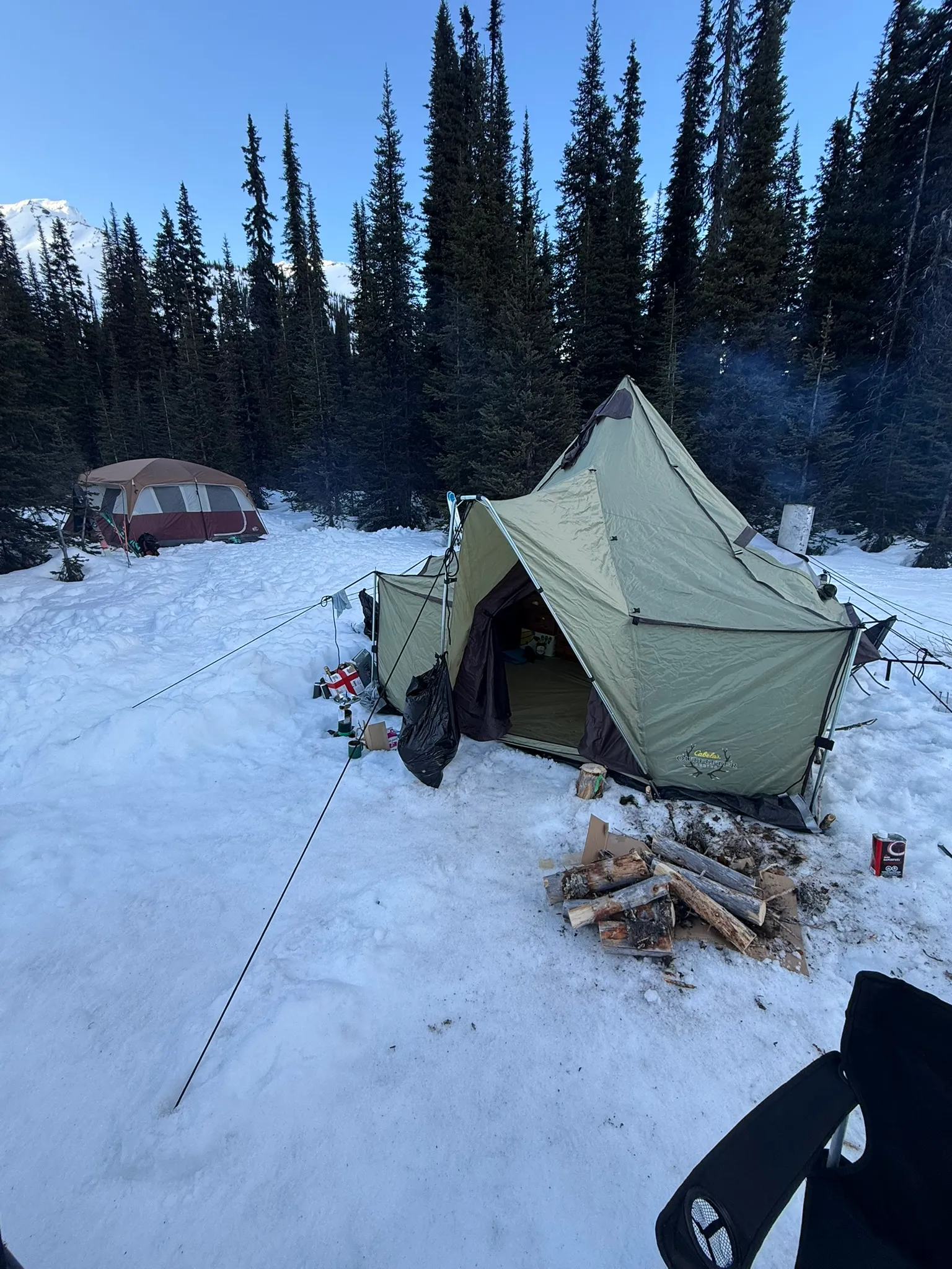
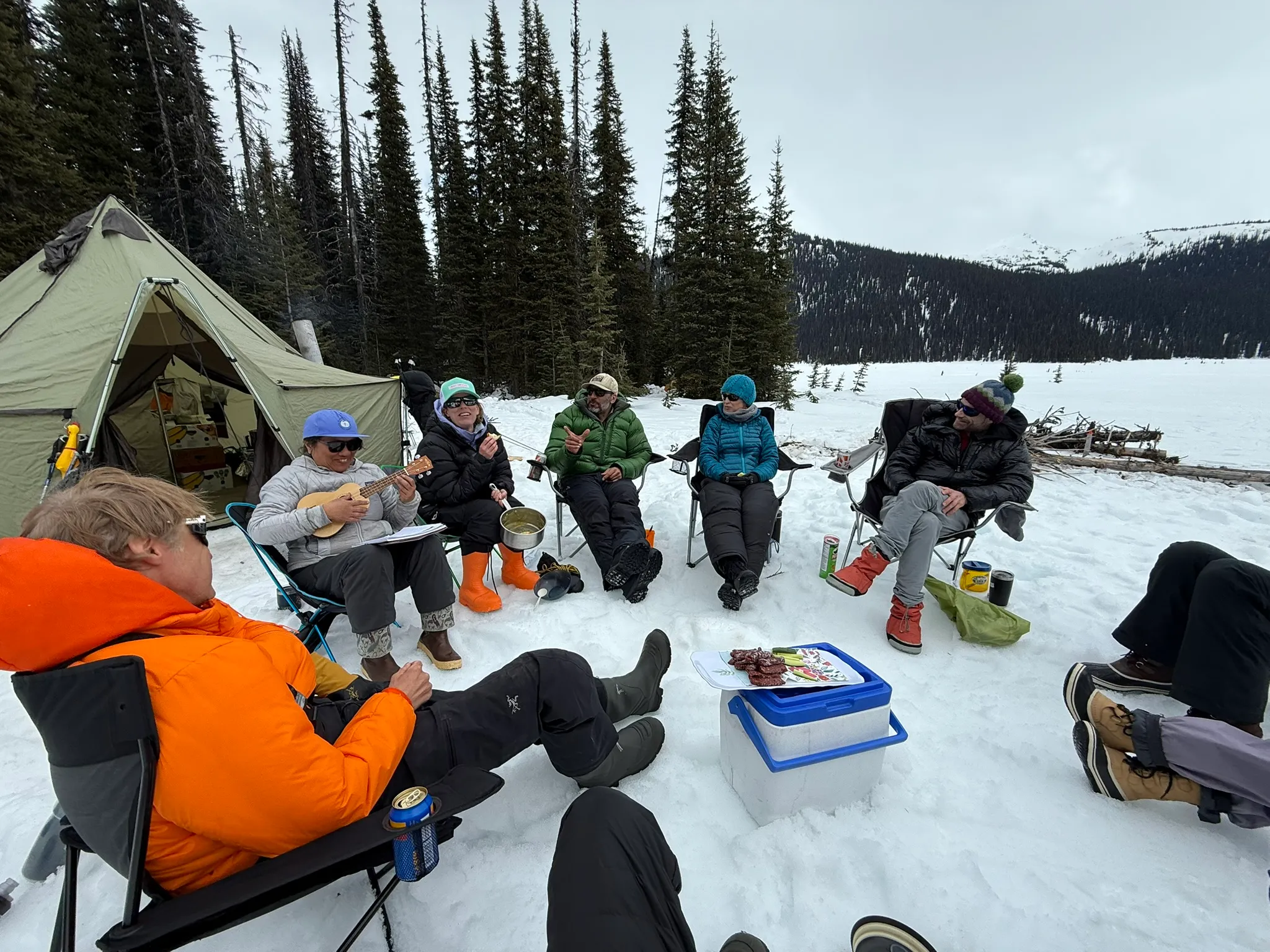
During the first few days, we stayed together. We skied broad glaciers, followed established heli lines and learned the layout of the valley.
I had spent months looking at maps before the trip. In the field, I photographed ridges and drainages, then compared them with the contours on my phone. The rest of the group often preferred linking glacier laps. I kept looking for routes that involved more navigation, climbing and uncertainty.
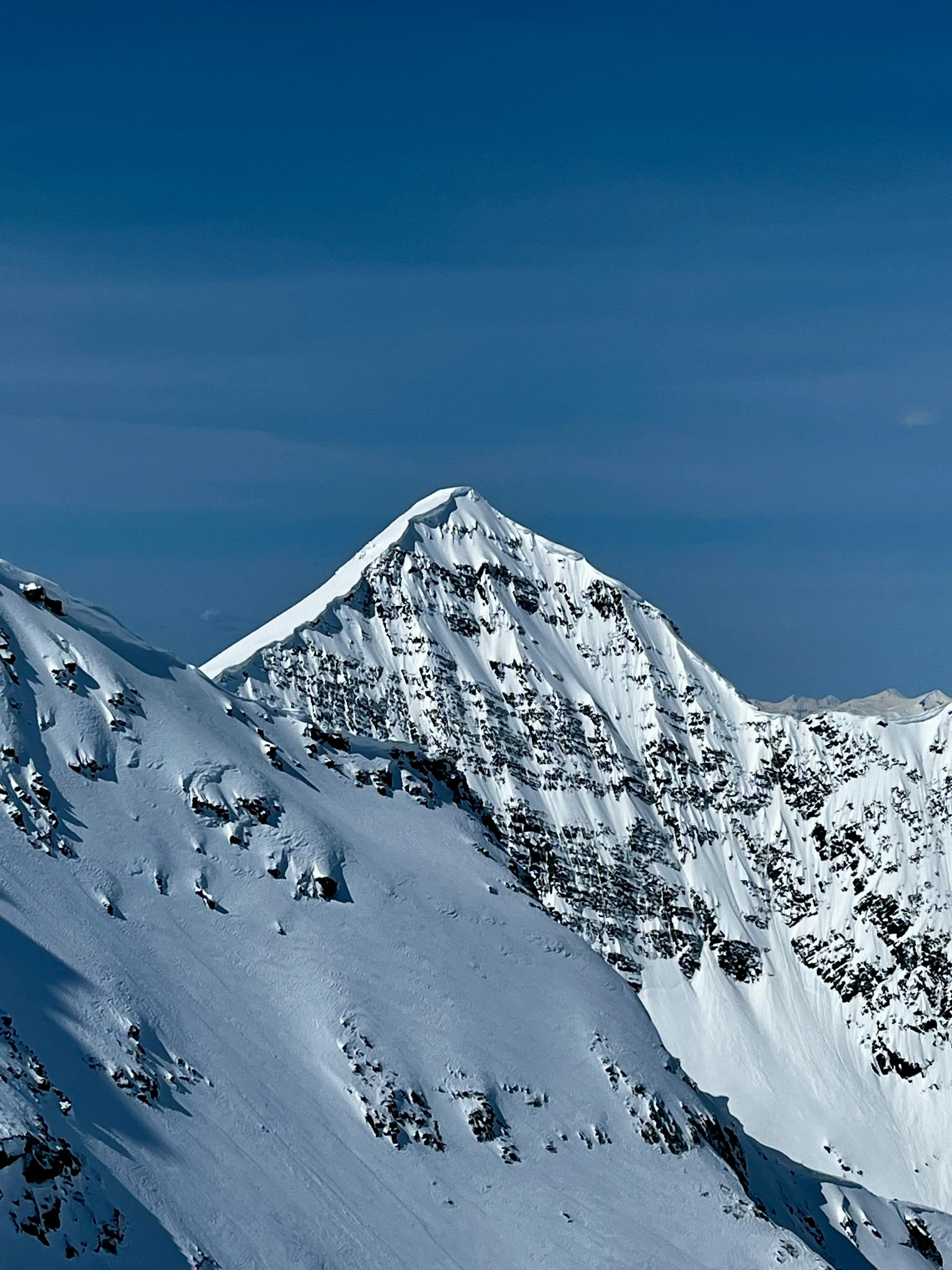
On one of those early group days, Chris and I crossed the ridge above camp and saw a dark rock face across the valley. A narrow ribbon of snow fell down its left side.
“It kind of looks like Assiniboine,” I said.
Chris laughed. “Yeah. It looks like Lil’ Baby Assiniboine.”
We called it Lil’ Baby for the rest of the week. From that angle, the snow appeared to connect from the summit to the glacier, but we could not see the whole line or tell how we would reach its base. Whenever the face came into view after that, Chris and I tried to piece together a way up and a line down.
The grand tour
By the third morning, Colin was exhausted. It was his first time camping, period. After several bad nights, he stayed at camp with Sue.
I had expected to ski with Colin that week. With him sitting out, I needed another partner if I wanted to attempt something more complex than the glacier skiing we had been doing. Over breakfast, Chris and I looked across the valley at an unnamed peak.
The contours on Gaia suggested a loop: climb one drainage toward the peak, cross the ridge and descend a second drainage farther down Azure Pass. From there, we could skirt the steep terrain below and climb back to camp. We could see the beginning and the end. The middle would require some improvising.
I have always preferred loops to out-and-backs, and Chris feels the same way. The rough line on Gaia was enough to get us moving.
We left camp and switchbacked through steep trees on refrozen snow. Above treeline, we entered an alpine bowl and saw the peak again.
A steep step at the top of the bowl forced us onto our boots. With skis on our packs, we used our tools on snow and occasionally on rock to gain the ridge.
Cloud had been building while we climbed. Near the top, the summit appeared briefly through a gap, then vanished.
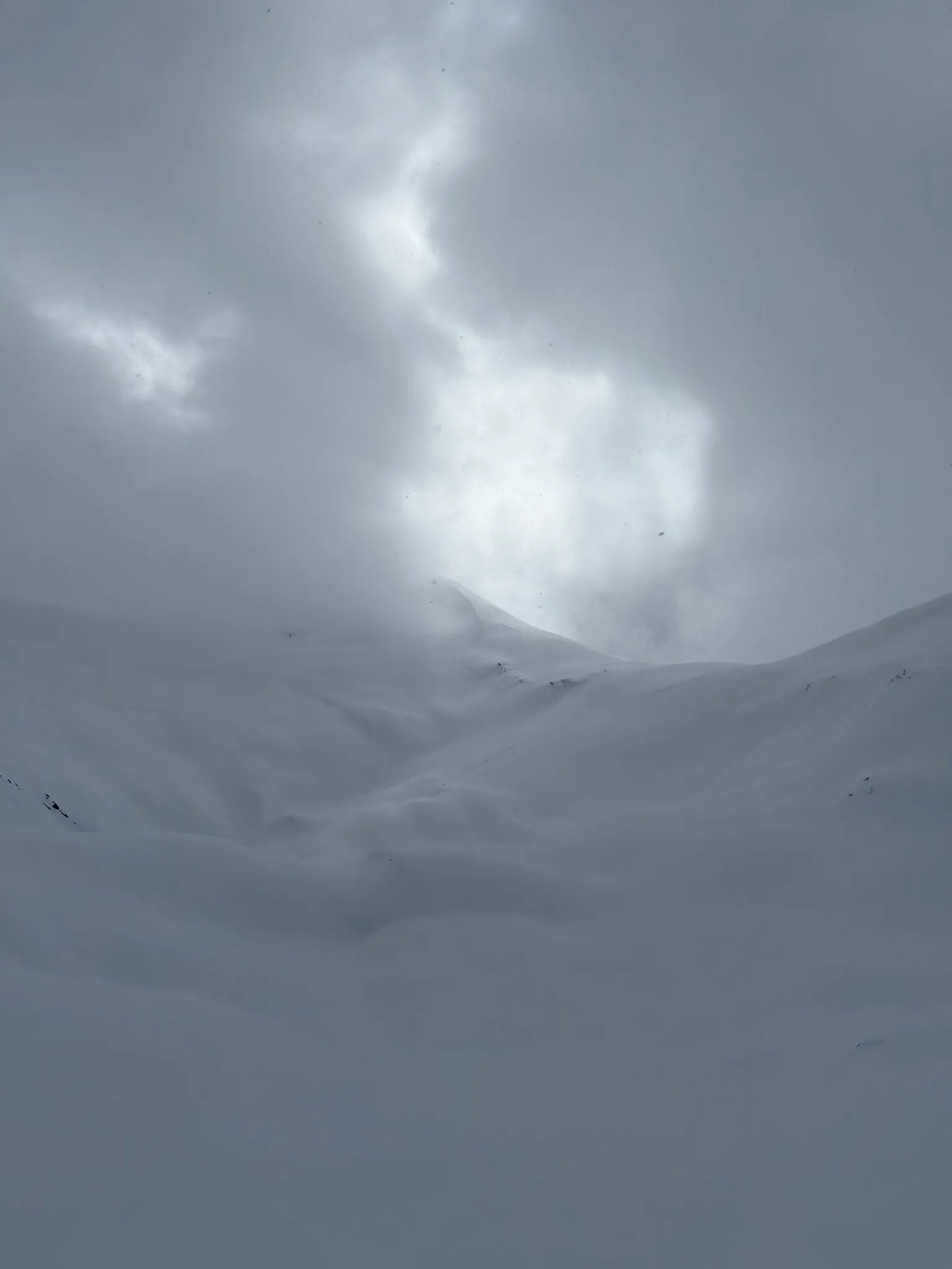
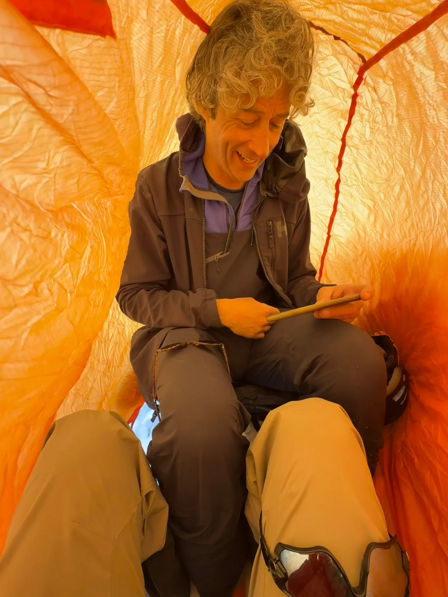
Soon we could no longer see where the ridge went or how close we were to the summit. I dug a ledge into the snow so we could get out of the wind. Chris pulled a bothy bag from his pack, and we sat inside it to wait for a break in the cloud.
An hour passed in orange light. Visibility never improved enough to continue, and the storm was still building. We abandoned the summit and started down.
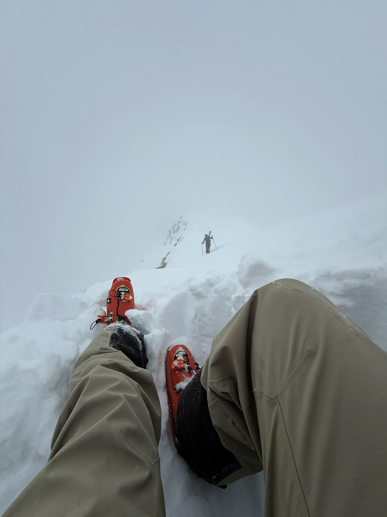
The cloud had settled over the ridge as a low ceiling. Once we descended beneath it, visibility returned and we could read the terrain again. The summit remained buried behind us, but the neighbouring drainage was open below, so we crossed into it and continued the loop.
The snow varied from firm crust to softer pockets. As we lost elevation, the drainage opened and Sir Sandford appeared through the cloud in the distance. Until then, we had known this side of the ridge only from contour lines.
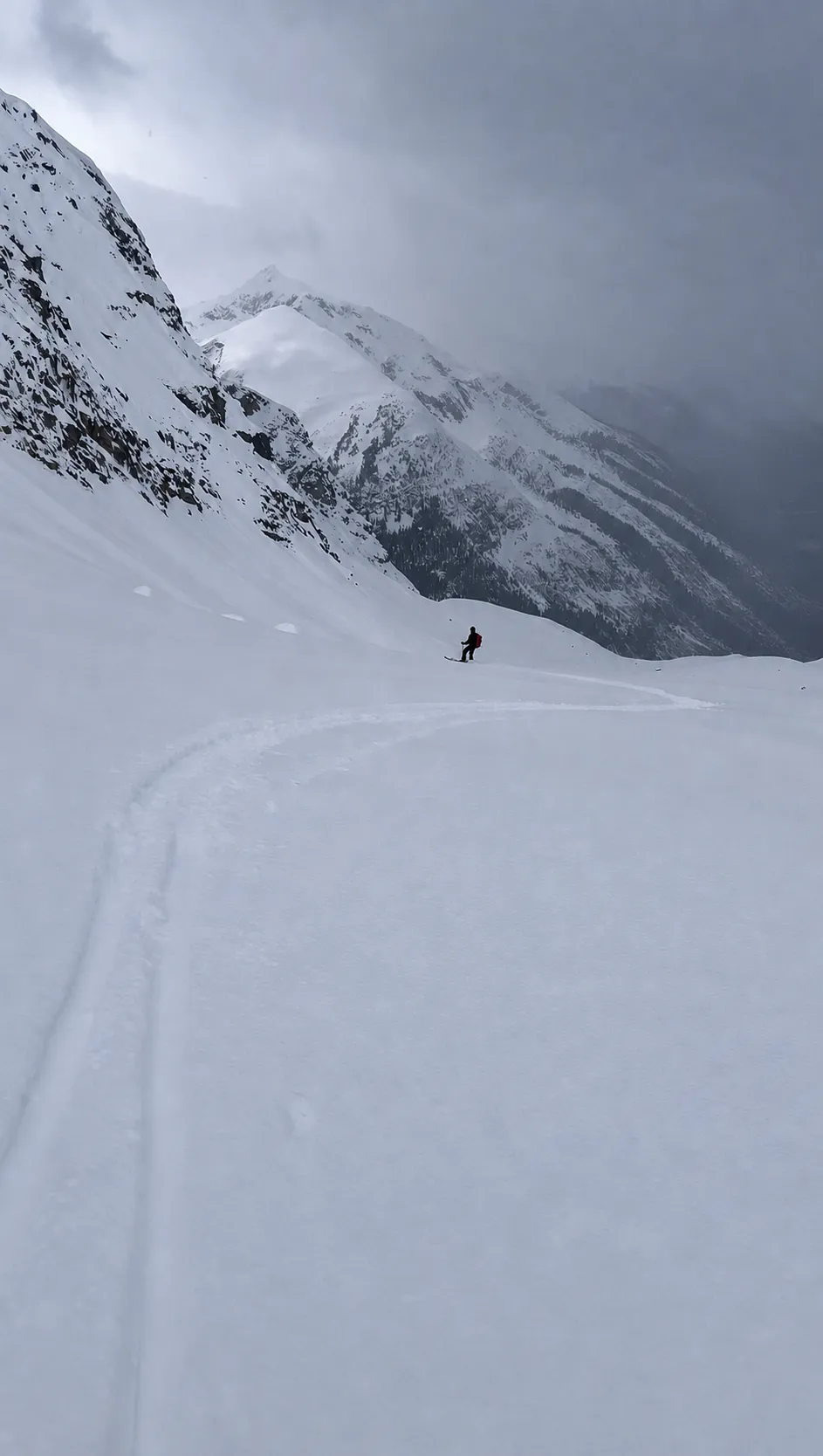
At the bottom, a cliff band and steep drainage blocked the direct line back to camp. We spent the next hour and a half skirting their edge through steep trees, traversing and switchbacking wherever we could set a skin track.
Back at camp, we took our usual beers to the fire.
The ridge from camp
The next day, we skied glacier runs with the full group. Between laps, Chris and I studied a ridge above camp and tried to match it to the map.
The ridge rose above the glacier and hid a small bowl on its far side. The contours suggested that the bowl drained almost directly back to our tents. If we could climb through the rocky crest and find an entrance on the other side, we could ski a loop from camp.
That evening, we traced the ridge and bowl on Gaia. We could see most of the route from camp, but not the short section connecting the crest to the bowl. The next morning, Chris and I set out to see if it went.
We followed the established uptrack, zigzagged across the glacier and gained the ridge dividing Azure Pass from the valley to the north. There, the skis went onto our packs.
The lower ridge was straightforward snow climbing. Higher up, it narrowed at a rocky notch. We took out both tools and climbed through exposed rock and snow before stepping back onto the snowy crest.
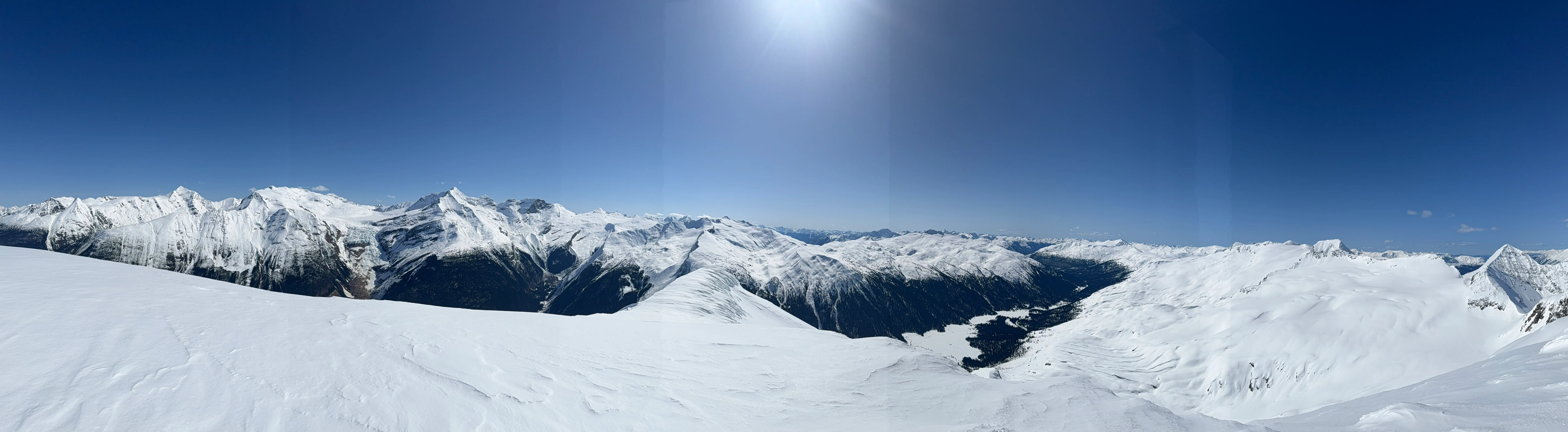
The weather was clear. From the summit, we could see across the Sir Sandford Range and down Azure Pass. A CMH group was making glacier turns across the valley. They were the first people we had seen outside our camp since the helicopter left. We watched for a few minutes, then continued along the ridge.
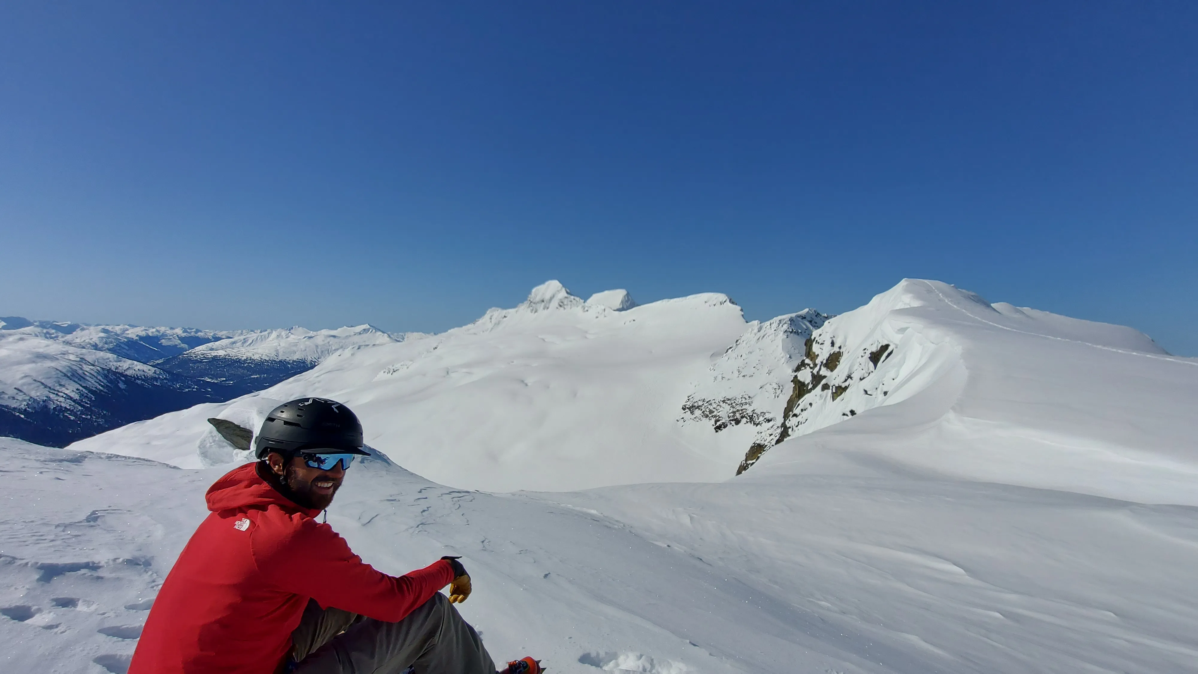
Near the end of the crest, we found the entrance. Two exposed turns led onto a snow scoop, then into a short couloir above the bowl we had studied from camp.
Below the first turns, the exposure eased and the snow had softened into corn. The couloir widened into the bowl, and the lower moraine gave us a series of rolls and bumps on the way home.
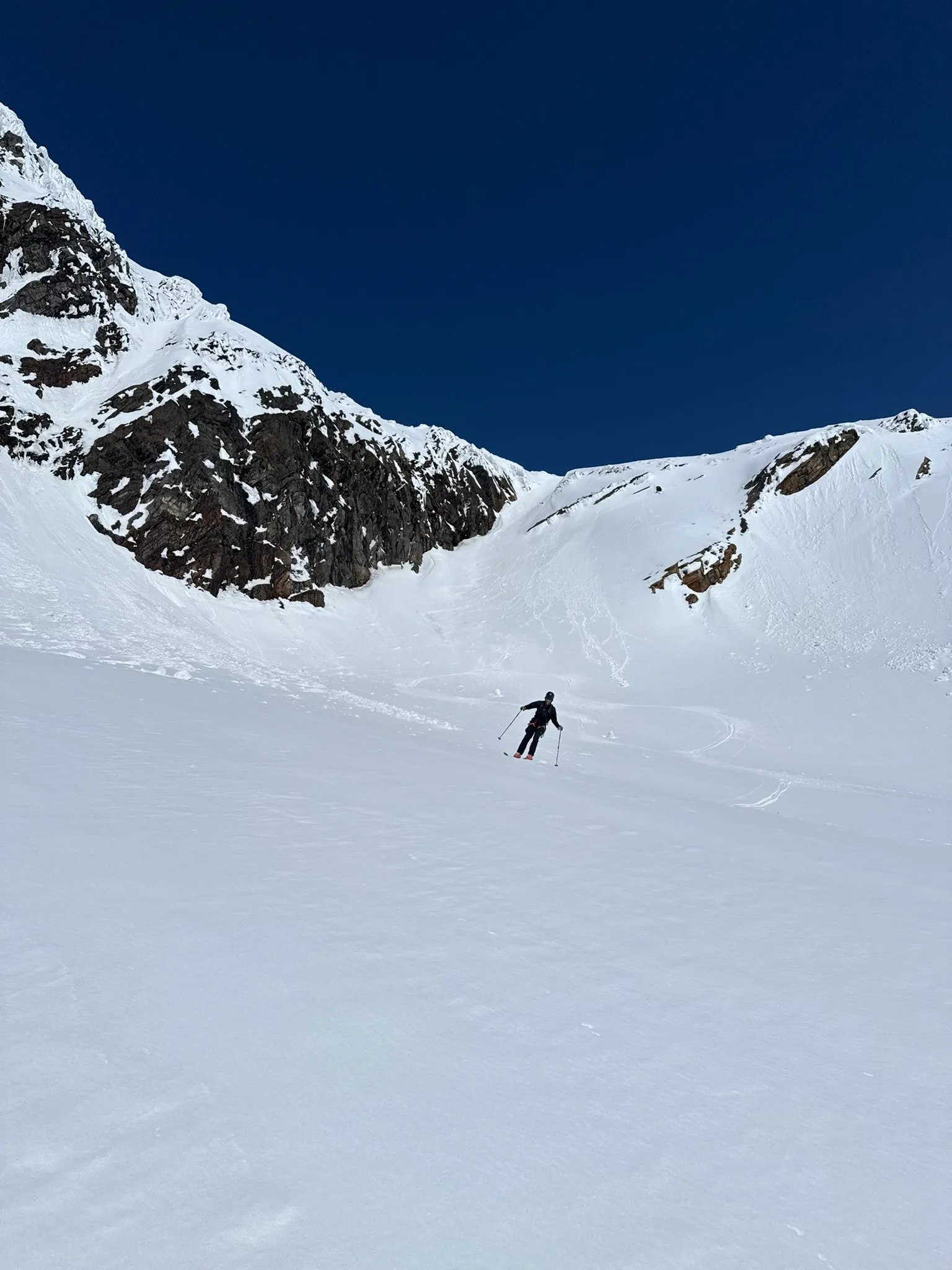
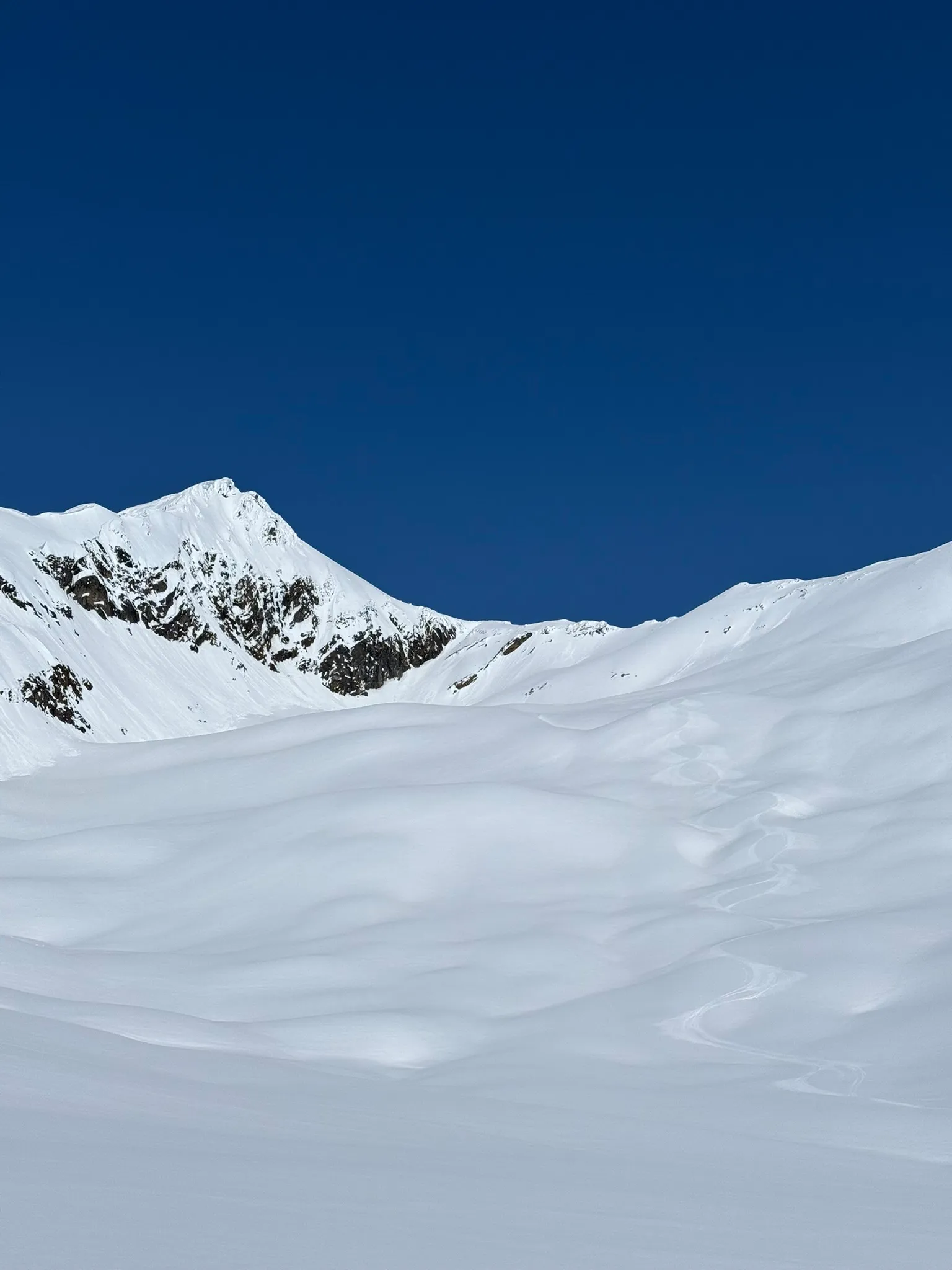
We reached camp early enough to lie in the sun. The loop had worked, and the corn in the bowl was some of the best snow we had skied all week.
While we sat outside the tents, the conversation returned to Lil’ Baby. The face sat one valley over, out of sight from camp, so we studied the map and talked through the approach. We were confident the night would bring a solid freeze. Now it was a matter of playing the corn game: reach the face and climb it before the day’s heat made the snow isothermal. Time it right and we could have the corn run of a lifetime on the way down. The next day was our last real opportunity, so we decided to go.
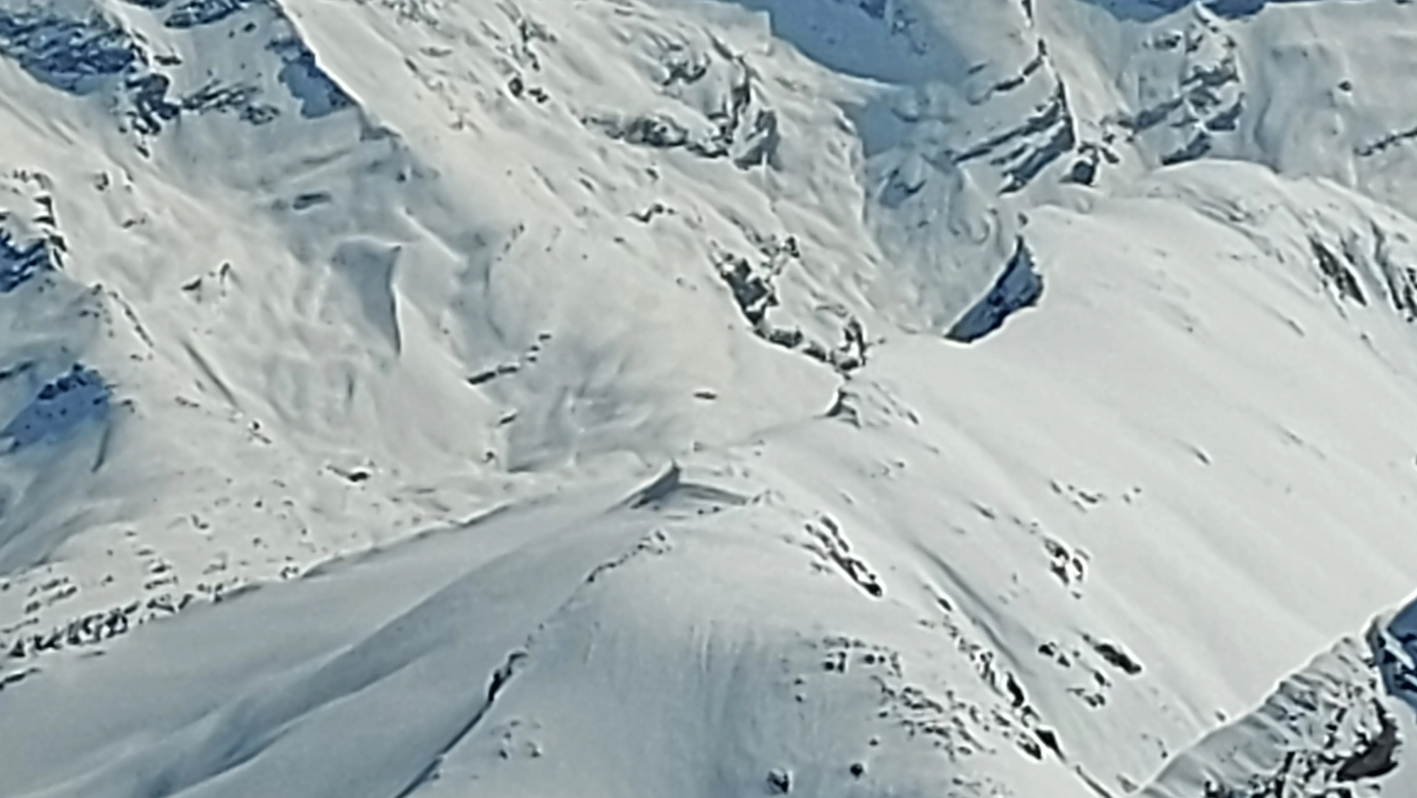
Lil’ Baby
The next morning, the rest of the group set out to repeat the ridge and bowl. Chris and I headed toward Lil’ Baby.
We followed the usual uptrack from camp, put on ski crampons and crossed the glacier toward the col behind the ridge. From there, we descended to the base of Lil’ Baby on firm breakable crust.
At the bottom, the skis went onto our packs. We put on crampons, took out our axes and started up the frozen face. Chris and I traded leads while setting the bootpack.
We topped out beside enormous cornices hanging over the far side. Staying well back from their edges, we sat in the sun and waited.
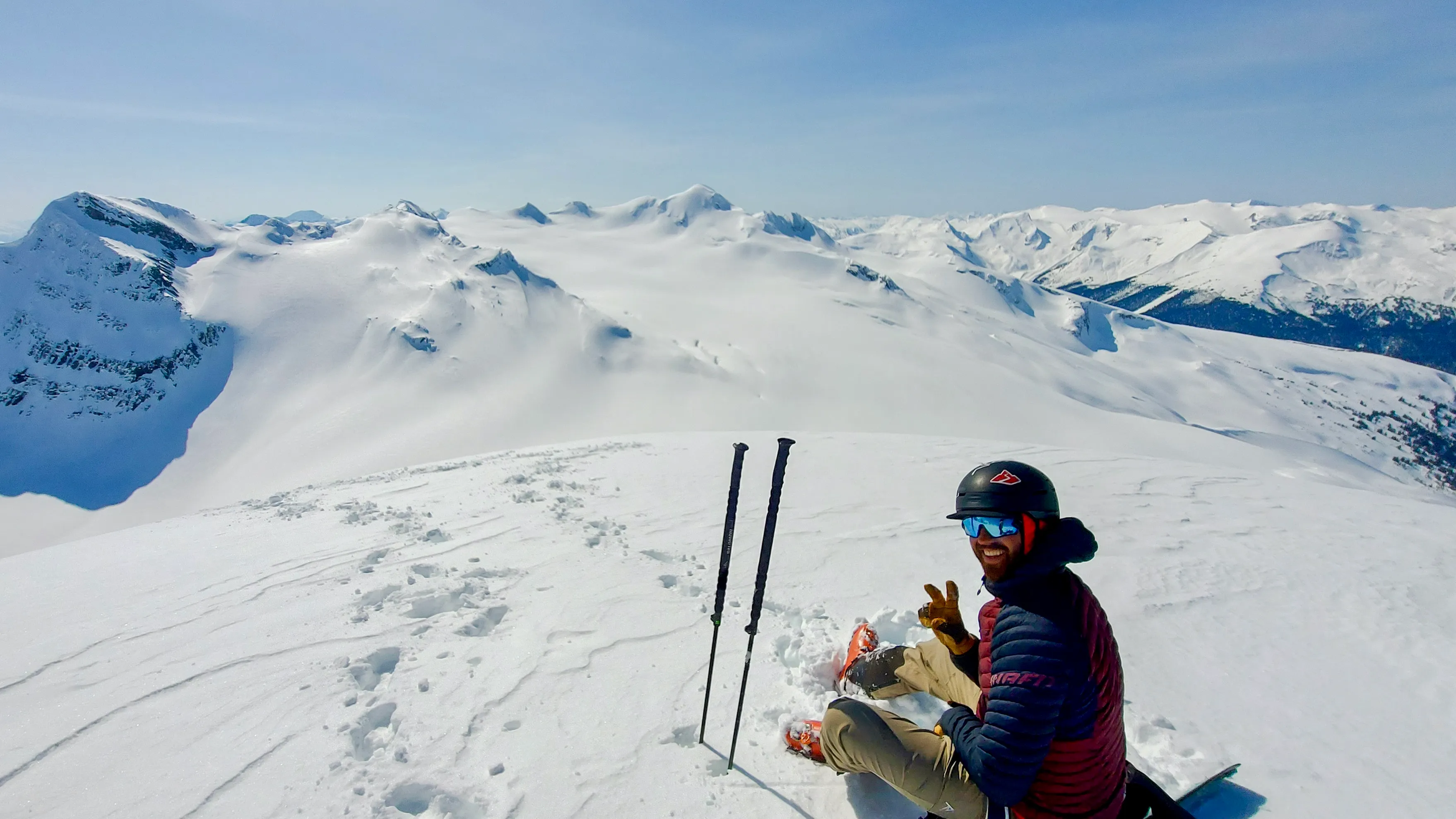
The face needed time. Too early, it would be too hard to hold a reliable edge; too late, the snow could lose its support. We ate, drank and checked the surface beneath our boots until the upper layer softened over a firm base.
I led into the upper choke. A rock outcrop interrupted the cleanest passage and forced one exposed turn close to the ridge, with the dark face dropping away below. I had been thinking about that turn since we first saw the line from camp. It was over in a few seconds.
Once I was through the crux, I stopped in a protected position and waited for Chris. He came around the rock and onto the open face.
“Let it rip,” I told him.
Below the choke, the face opened into a long panel of smooth, south-facing corn. The surface had softened without losing its support, exactly the window we had hoped to catch. We let the skis run along the edge of the rock face, hooting at each other as the tension from the climb and crux fell away. The angle gradually eased until the exposed face gave way to the glacier below.
We looked back at the ribbon we had first seen from the ridge above camp, then began the long return.
What the maps could not tell us
We had no record of anyone skiing Lil’ Baby before us, but that was not enough to call it a first descent.
After the trip, I found a Canadian Alpine Journal report from 1982 describing an Alpine Club of Canada ski camp at Azure Pass the previous year. Skiers had been climbing unnamed peaks in the area for decades. Someone may have stood on the same summit and made the same turn around the same rock long before us.
We had entered the area with very little current information. Our maps could suggest a loop, but they could not show the condition of a bootpack, the entrance to a hidden bowl or whether a ribbon of snow connected around a rock.
Each morning, we compared the forecast with the weather and snow around camp. During the day, we adjusted as conditions changed with elevation and aspect. One summit disappeared into cloud, the exposed ridge required an entrance we could not see from below, and Lil’ Baby required waiting for a south-facing slope to soften.
We did not ski in the same pairings all week. The groups changed each morning according to energy, conditions and what people wanted to do. Chris and I had spent years together in the mountains, so when Colin needed a day at camp, we fell back into a familiar rhythm.
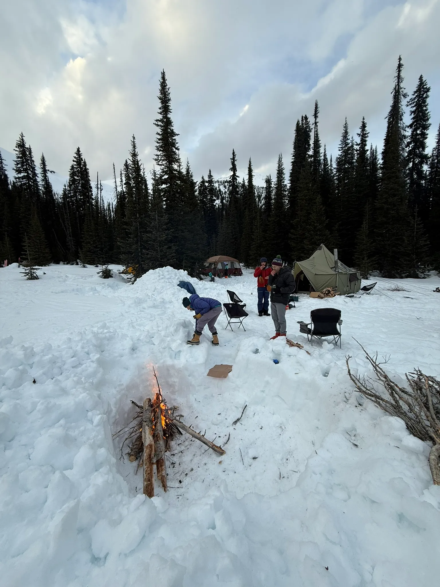
On our final evening, we sat around the fire with beers while the terrain disappeared into the dark. All three routes had begun at the tents with a rough line on the map, and each had given us a different way home.