

Across the Tantalus
A 38-kilometre day across the Tantalus Range, and what the route asked of our team, our equipment, and the access plan we got wrong.
My alarm went off at 2:25 in the morning. It was supposed to go off at two.
I was meant to pick Cam up at 2:50, then Dawson and Callum at three. Instead, I was standing in my kitchen already late for one of the biggest days I had attempted in the Coast Mountains, trying to make coffee, oatmeal and the final decisions about my pack at the same time.
Rope. Harness. Helmet. Crampons. Ice axe. Glacier kit. Puffy. Emergency pants. Sunscreen. Enough food. Maybe enough real food. Every item seemed to generate another question about what I had forgotten.
I put two more cups of coffee in a travel mug and carried the oatmeal to the truck. At 3:03 I was picking up Dawson and Callum. The panic had cost us three minutes.
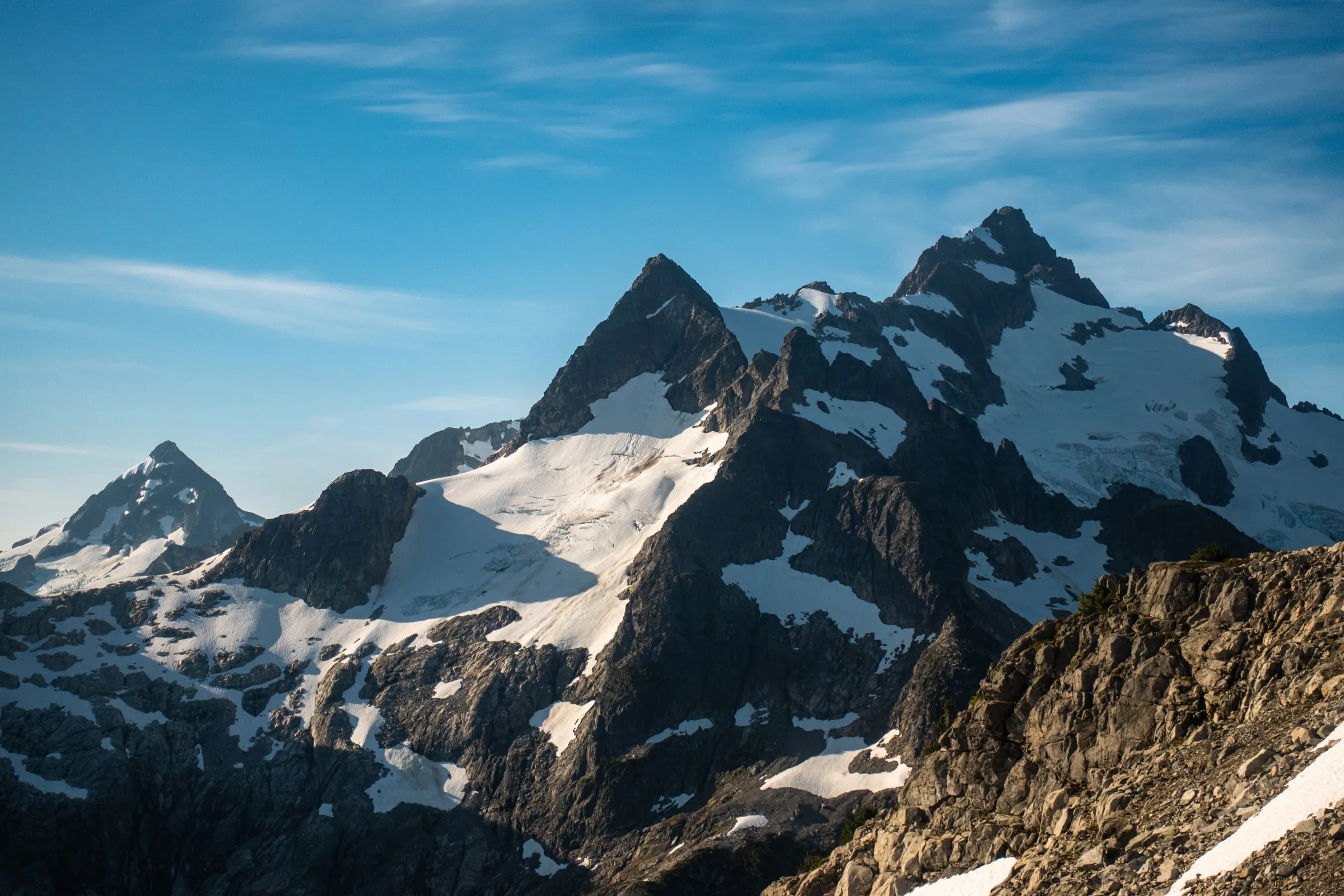
The Tantalus Traverse crosses the range from the Sigurd Creek trailhead in the north to the Squamish River in the south. Our line went over Mount Tantalus before continuing past the Jim Haberl Hut, through Russian Army Camp and Lake Lovely Water. It is distinct from what is often called the Full Tantalus, a much larger version that adds the other major summits along the range.
Our watches would eventually record roughly 38 kilometres and 4,000 metres of elevation gain. At four that morning, those numbers were still abstract. First we had to get our shoes on.
Before the point of no return
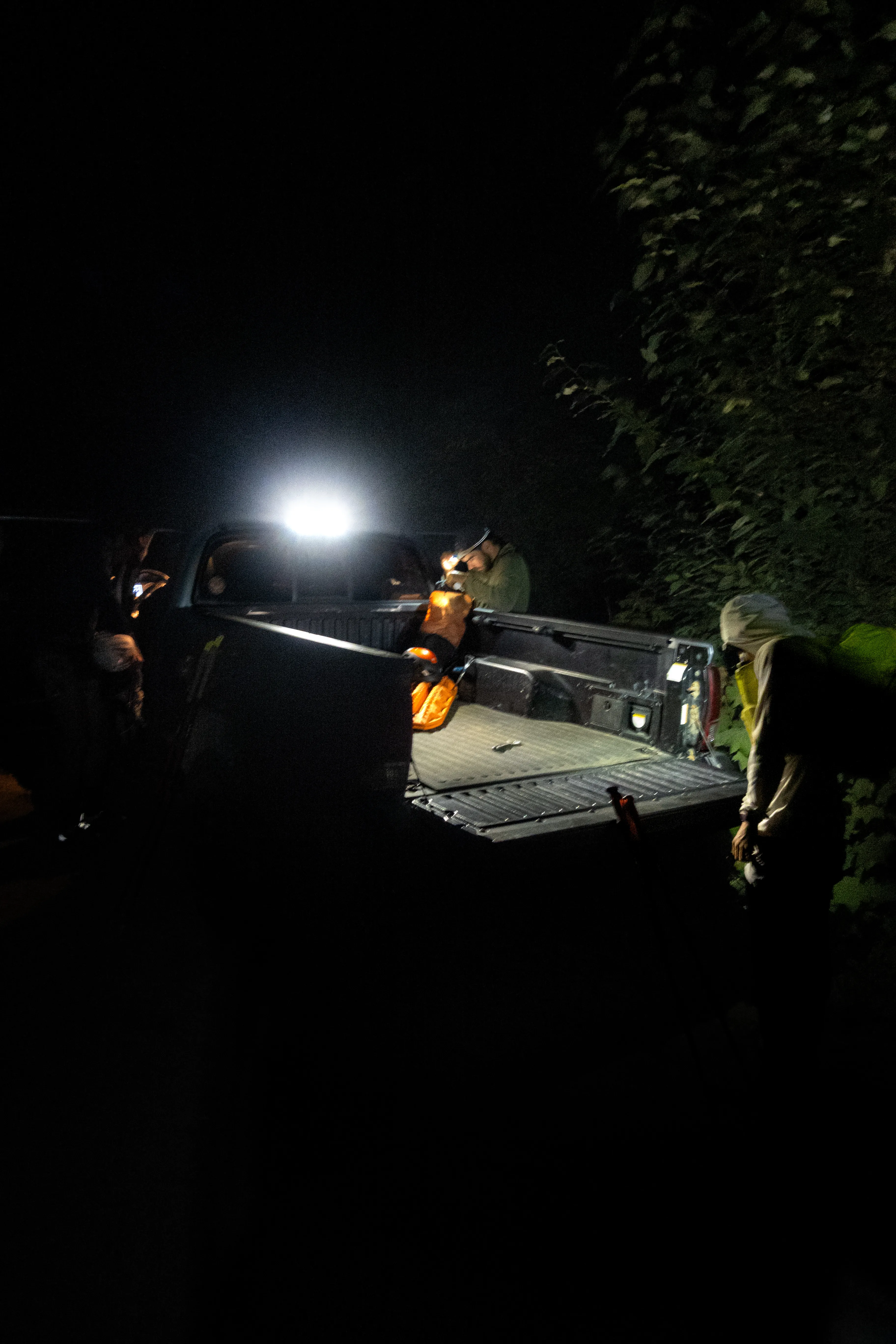
The first hours passed quickly because there was not much to see. Our headlamps caught the trail, downed trees and the feet immediately ahead of us. We kept moving, partly because the travel was straightforward and partly because all four of us were carrying some version of the same anxiety about the day waiting above.
Around sunrise we reached the talus below Pelion. We ate for the first time, then worked back and forth through moraine toward the first snow of the day. Mount Tantalus appeared farther down the range, still separated from us by the Pelion–Zenith Col and a great deal of terrain.
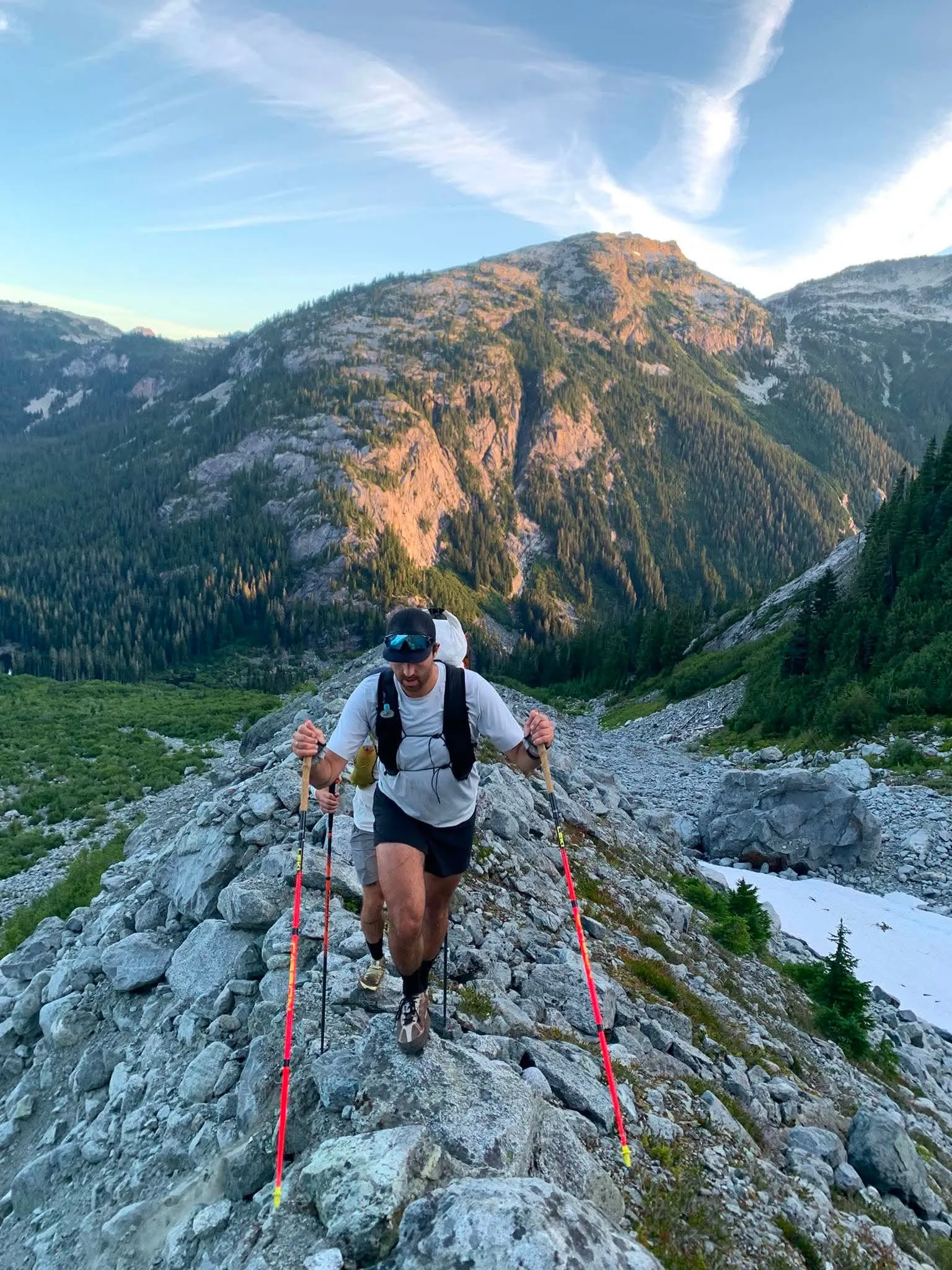
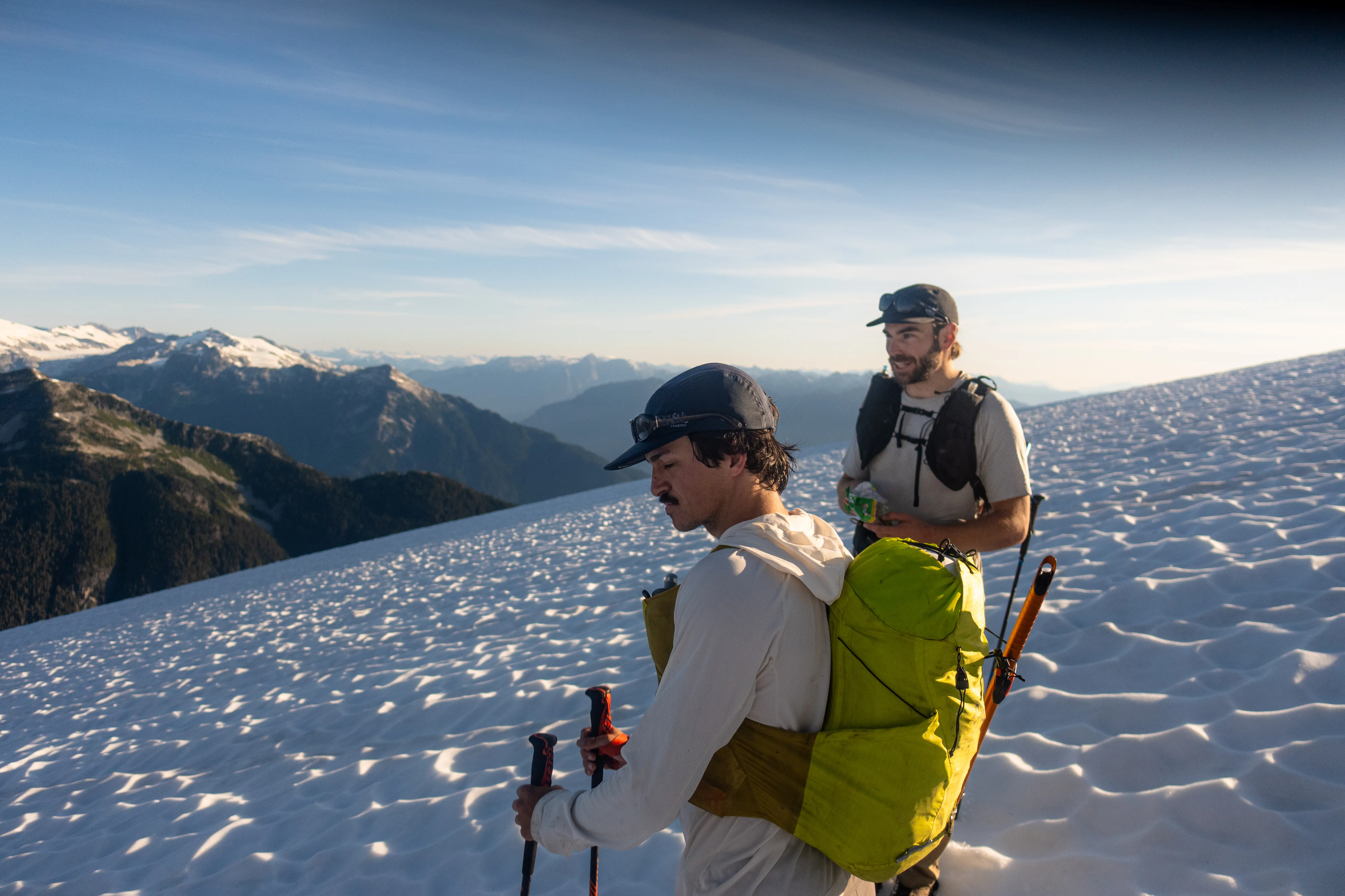
Near the col, Callum began dealing with severe calf cramps. We had already gained close to 2,400 metres, but another 2,000 remained and the easy retreat was about to disappear behind us.
Turning around there was a hard decision and the right one. Callum had enough information to know that continuing would make his problem ours somewhere much more difficult to leave. He took my truck keys and agreed to collect us at the other end whenever the inReach message arrived.
Before separating, we stopped at what we expected to be our last dependable water for a long time. I filled two 500-millilitre soft flasks and a two-litre reservoir. Three litres sat noticeably heavier than the pack I had carried out of the truck, but the next reliable source could be as far away as Russian Army Camp. Any trickles between were a bonus, not a plan.
We said goodbye to Callum and continued as three.
The ridge
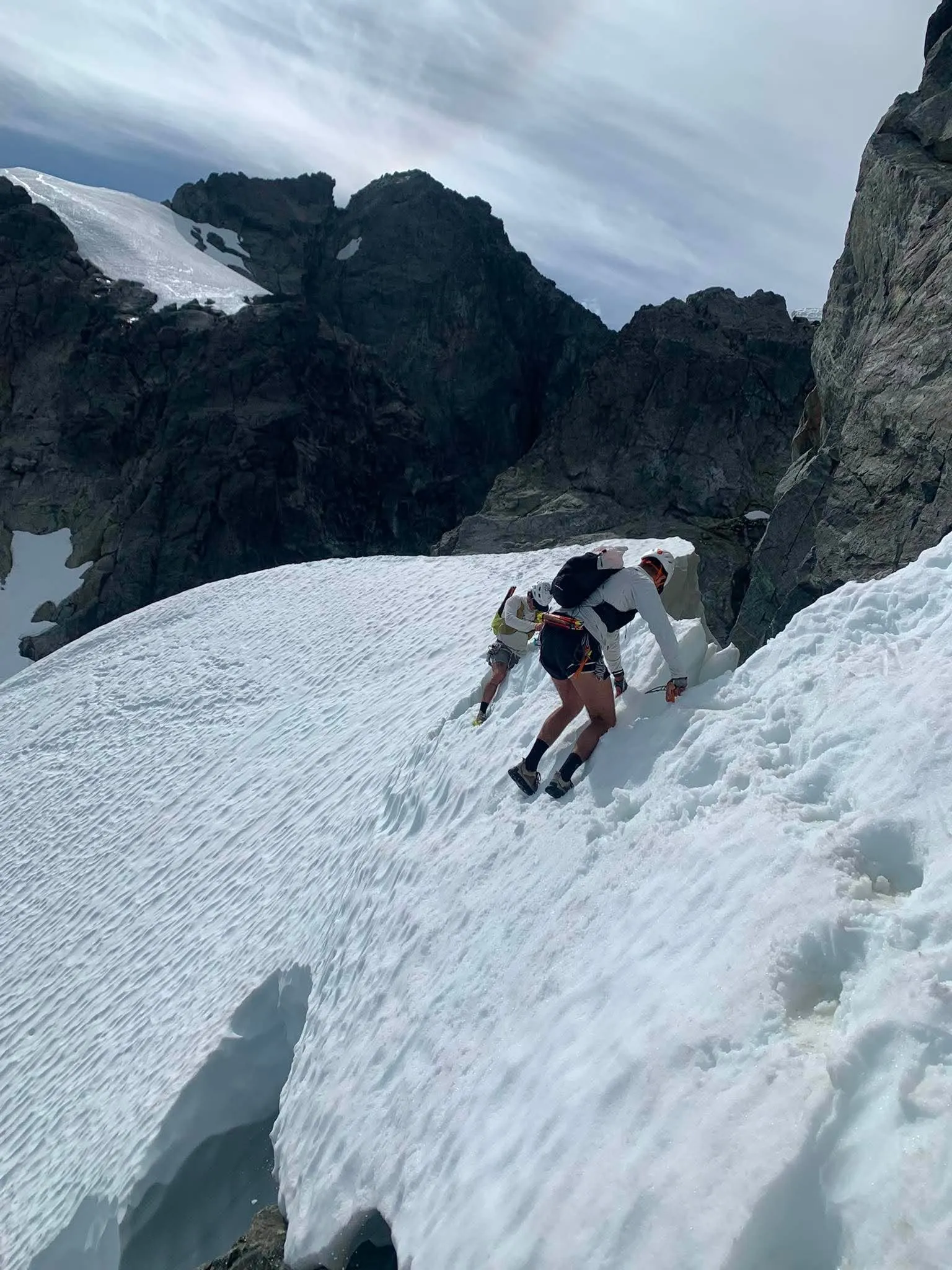
The snow leading toward the north side of Tantalus was low angled and easy enough to travel with poles. Before the terrain opened above crevasses and bergschrunds, we stopped and put on helmets, harnesses and crampons, then took out our axes.
The crossing went smoothly. On the far side, Dawson and I left our crampons on for a short rock step because we expected more snow above it. Cam changed back into his running shoes.
Cam was right.
The top of the step led directly to an exposed rock downclimb. Dawson and I removed the crampons we had just carried over the rock, reversed the step and then put them on again for the next snow traverse. It was not a major mistake, but it was exactly the sort of transition a long day punishes: extra minutes, extra handling and another chance to drop something.
From the next rib we could finally see the snow bridge that gave access to the summit ridge. It was thin and suspended above a large drop. The snow itself was not technically difficult, but there was no room to treat it casually.
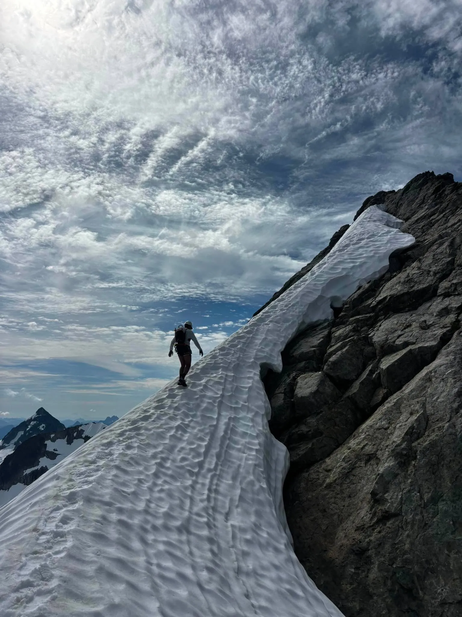
Once we reached the rock, everything relaxed. The footing was good, the rock was mostly solid and all three of us were comfortable moving without a rope. We stayed close to the crest, scrambled over the false summit and downclimbed the far side.
Two parties were travelling the route over several days. One was already descending from the summit; the other caught us as we climbed the final steps on climber’s right. They were headed for the Jim Haberl Hut that evening. We were headed much farther.
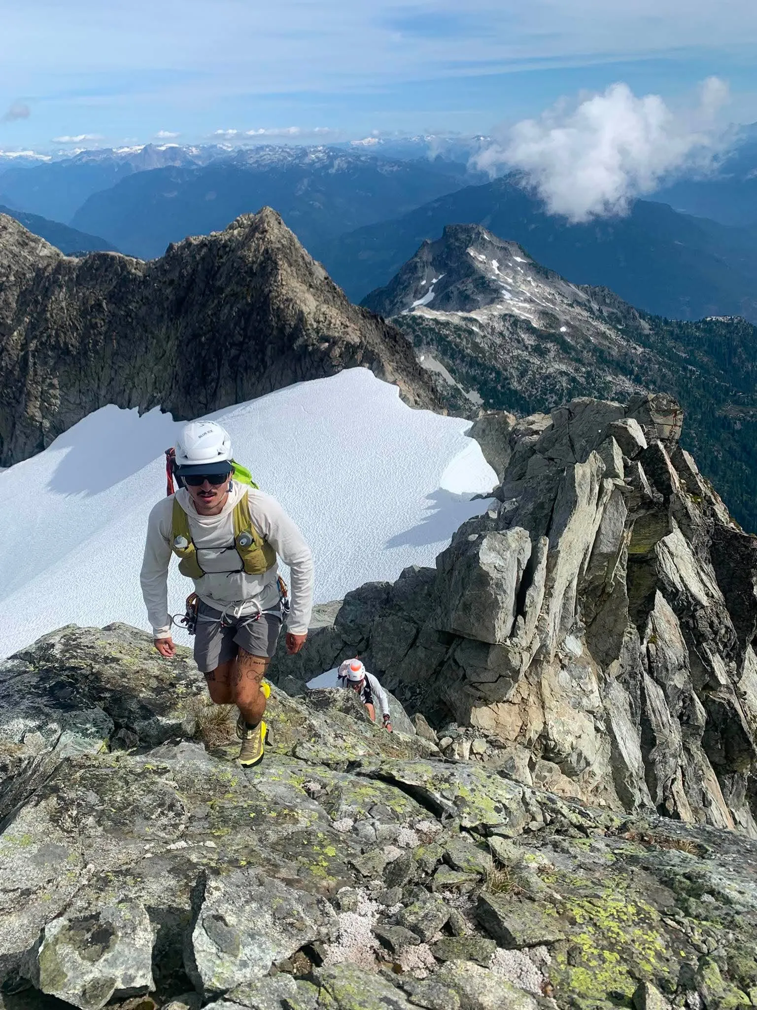
We stayed on the summit long enough to eat, drink and speak with the party behind us. The upward problem was finished. The more time-consuming one began immediately below.
Six rappels
We followed the established descent from Mount Tantalus, downclimbing the upper sections before traversing onto the rappel line. When we caught the party ahead of us on the ledges, they generously let us pass.
Cam and I had each carried a 30-metre Petzl RAD Line. Joined together, they gave us the length required for the stations. The rappels were exposed but straightforward. Roughly six of them brought us to the Dione Glacier.
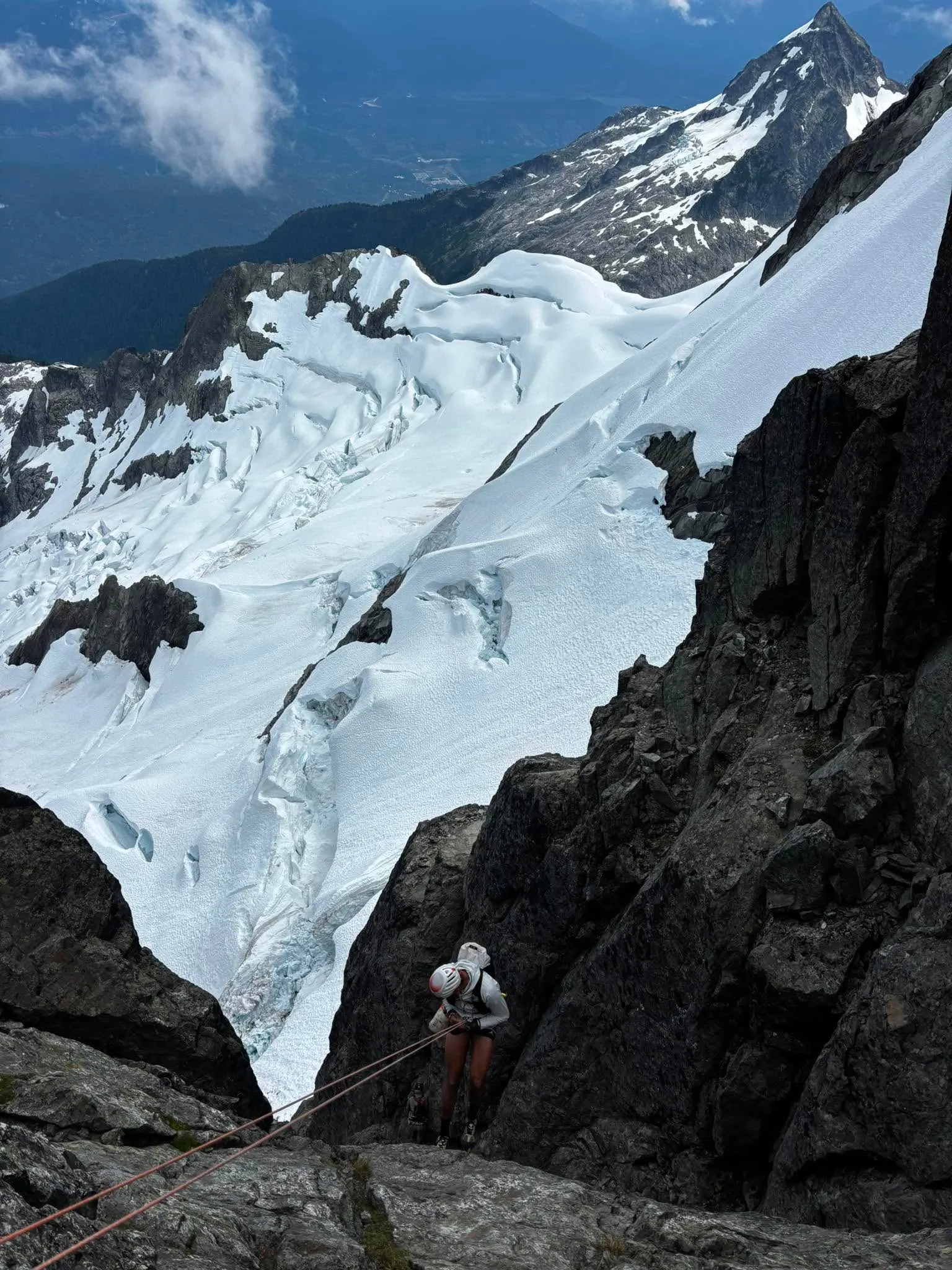
Below the final rope, we took off our crampons, boot-skied toward Dione and crossed the bench to the Jim Haberl Hut. I had been here only months earlier on skis. The landmarks were familiar, but the range had changed clothes: running shoes and summer snow had replaced skins and a week based from the hut.
We ate and drank on the deck. The technical cruxes of Mount Tantalus were behind us, and I was increasingly willing to confuse that with being nearly finished.
A useful correction
We left the hut and continued behind Serratus without putting on crampons. We wanted to move quickly, and the snow did not seem to demand another transition.
Partway across, we found a group gathered around an injured climber and a search-and-rescue responder. He was bandaged and being prepared for a long-line evacuation. We learned that he had fallen while travelling without crampons and badly cut his hands trying to arrest.
The timing was difficult to ignore. I had just made the same equipment choice.
We put on our crampons before continuing toward the Serratus–Ossa col.
The far side of the col required careful downclimbing and a snow traverse hard to skier’s left. Then we pushed through the brush into Russian Army Camp.
The false finish
At Russian Army Camp, I felt as if the traverse was over.
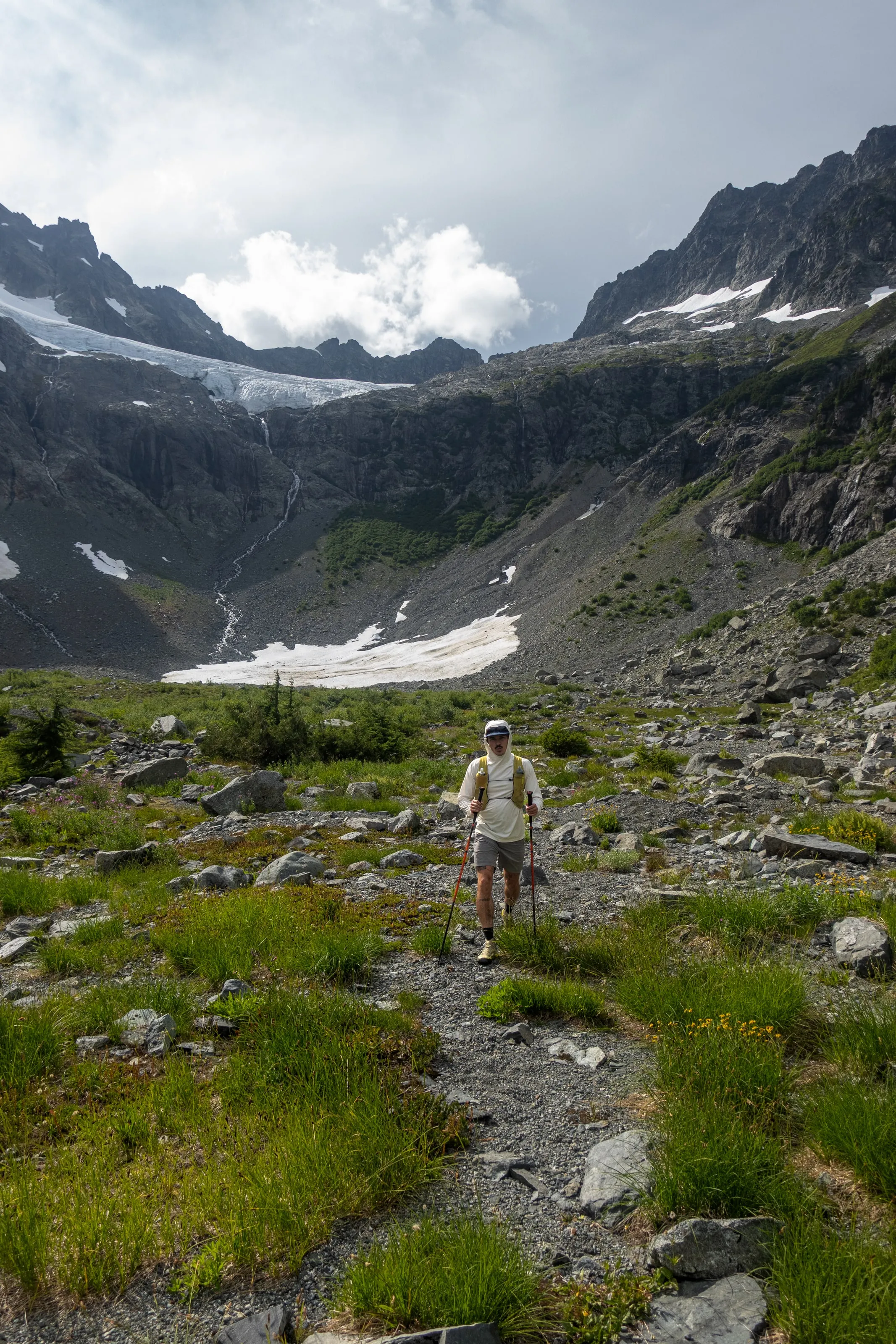
My mental map had reduced what remained to a short descent to Lake Lovely Water, then 900 metres down to the river. Steep and unpleasant, perhaps, but simple.
The actual map had other ideas.
We bashed through the trees until we found the trail. It descended for longer than expected, then opened beside a lake that was not Lake Lovely Water. It was Lambda Lake. A black bear ran when we yelled. We kept going.
At Lake Lovely Water, it seemed rude not to go in. We stopped for a quick swim at the campground junction, drank and ate what we could.
Then came the 900 metres I had dismissed. The Lake Lovely Water trail took us more than an hour and a half. My legs were shutting down and my stomach had lost interest in gels. I had enough calories; I had not brought enough food I still wanted to eat.
We reached the river-survey cables in a little over 15 hours and stopped our watches.
The day was not over.
The river
Cam crossed first and made it look quick. Dawson and I are taller, which somehow made the hanging position more awkward rather than less. Dawson went next.
As he reached the far side, lights came on beside a truck. Two Sḵwx̱wú7mesh Úxwumixw (Squamish Nation) officers in safety vests were waiting near the cable support.
I knew this was not good.
While I worked across the river in short bursts, I could hear Dawson speaking with them. When I reached the far support, the officers took our information and photographed our identification. We had entered Squamish Nation reserve land without permission after using a cable we were not authorized to use.
Another three kilometres brought us to the road, where Callum was waiting with the truck, beer, pop and pizza.
After a day of gels, the pizza did not require much analysis.
What I carried
The challenge of packing for the Tantalus Traverse is not making the kit light. It is making it light without pretending that the glacier, rappels, exposed snow and possibility of an unplanned night have disappeared.
My pack was a 20+3-litre Samaya Ultra Pace. Inside and attached to it, I carried:
- two 500-millilitre soft flasks and a two-litre reservoir;
- gels, bars, stroopwafels and onigiri from Sakura Mart in Squamish;
- a phone, camera, poles and a running belt for storing them;
- crampons, a Petzl Gully ice axe, helmet, glacier harness, prusiks, belay device, ice screw and ice threader;
- one 30-metre Petzl RAD Line; and
- sunglasses, sunscreen, a sun hoodie, T-shirt, puffy and wind pants.
My shoes were the Norda 001A. On this day they handled trail, talus, glacier-polished rock and exposed scrambling without giving me a reason to think about them. That is one successful day of use, not a complete verdict, but it is exactly the terrain for which I wanted them.
The Ultra Pace also carried a real alpine load rather than the lighter running kit I had imagined when I first began testing it. It stayed close while scrambling and held the technical equipment the route demanded. With three litres of water aboard, however, the weight was obvious. A vest harness cannot make six extra pounds disappear.
Across the team, we distributed the equipment that did not need to be duplicated:
- two 30-metre RAD Lines and two crevasse-rescue kits;
- an inReach, water filter and emergency bivy;
- a first-aid kit with space blankets, haemostatic gauze, a tourniquet and an Israeli bandage;
- approximately 10 metres of tat and cordelette, plus a small selection of nuts for an improvised anchor or retreat; and
- spare sunglasses and group sunscreen.
Our planning document called the food category “all the candy in the world.” By late afternoon, that was close to accurate and no longer appealing.
The onigiri was the best fuel I brought. White rice remained easy to eat after the gels had started upsetting my stomach, and it felt like food rather than another task. Next time I would bring more of it, put my crampons on earlier when the surface called for them and give the exit the same planning attention as the summit ridge.
The access plan we got wrong
The cable appeared in enough trip reports and local conversations that we treated it as the conventional end of the traverse. Our equipment list even included a carabiner for it. Common use did not make it authorized.
The current BC Parks access information says the Lake Lovely Water trail can only be reached by watercraft. It also says permission should be sought to cross Squamish Nation land on the east side of the river. The first two kilometres of trail on the west side cross private property. The Alpine Club of Canada Vancouver Section is more direct: use of the survey cables is illegal and involves criminal trespass.
After our trip, a post in the SWBC Peak Baggers group repeated the Nation’s request that visitors not enter the reserve without permission and an escort. Whatever the history of the crossing, continuing because the old route is convenient is not a defensible plan.
Acknowledging our mistake should not hide the larger access problem. For a north-to-south traverse, arranging a watercraft at the finish is not as simple as booking a boat ride at the start. A self-supported option discussed after our trip involved staging a paddleboard upstream and carrying a second craft to return downriver. That requires permission, river competence, suitable conditions and logistics far beyond a normal trailhead shuttle. It illustrates the barrier; it is not general river-crossing advice. For many visitors, aircraft access is becoming the only practical alternative.
This is not a new issue. The 2012 management plan for Tantalus Park directed BC Parks and the Squamish Nation to explore a protocol for public access through Squamish Nation Reserve No. 11, discuss a secure trail corridor with the private landowner and investigate alternative river access if those options were not feasible. The same plan recognized both hiking and air access as appropriate ways to reach the park.
Fourteen years later, the legal human-powered route remains unresolved. BC Parks, the Squamish Nation, affected landowners, the District of Squamish and recreation groups need to return to the work identified in that plan: establish a lawful, environmentally responsible route that respects Nation and private land while providing realistic public access to the southern Tantalus.
Until then, anyone planning the traverse needs to solve the river before leaving Sigurd Creek. We did not, and finishing the route does not make that decision better in hindsight.